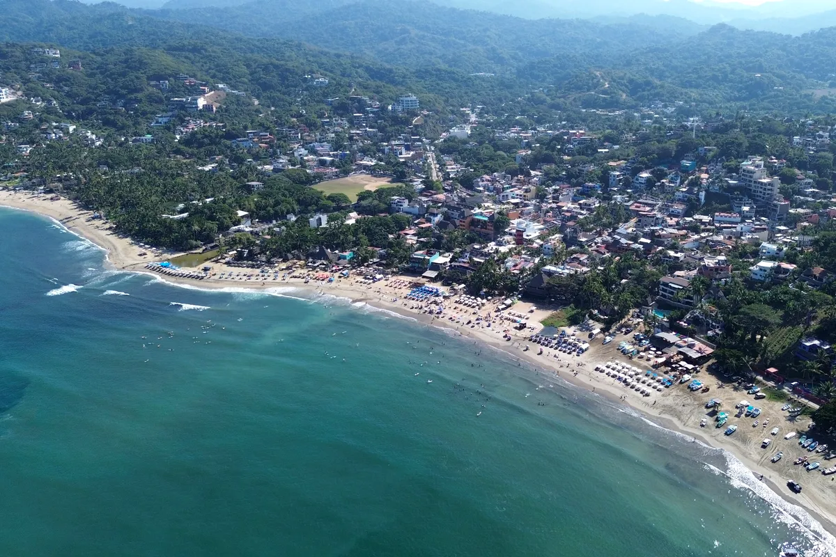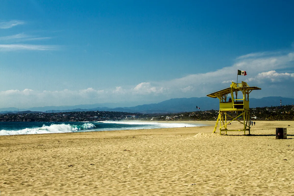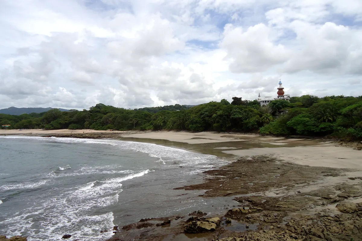
The breaks
Recognised, publicly known surf spots around Todos Santos. Suitability depends on the day's swell, wind and tide, so treat the level as a guide, not a guarantee.
| Break | Type | Best for | Notes |
|---|---|---|---|
| Cerritos | Beach break and sandy point | Beginner–Intermediate | The area's main learning beach, with surf in most months. Busy at weekends, with rips at low tide and on bigger swells. |
| San Pedrito | Beach break/point | Intermediate–Advanced | Best from October to April on north-west swells. A stronger wave over sand and rock with a smaller crowd than Cerritos. |
| Punta Lobos | Rocky point | Advanced | A locals' wave south of Todos Santos town. Rocky, with a clear pecking order, so watch first. |
| Pescadero beaches | Beach break | Intermediate | Open sandy beaches near the village of Pescadero. Quiet outside weekends, with currents and no lifeguards. |
| Town-side beaches | Beach break | Intermediate | Open beaches close to Todos Santos that are best on smaller swells. Strong shore break and rip currents are common, and there are no lifeguards. |
Todos Santos surf climate, measured
Ten years of ocean model data for the open water off this coast: what the swell usually looks like before it reaches the beach. Shelter, sandbars and reefs change what you actually surf, so read this next to the month notes below.
| Month | Swell | Period | From | Wind | Water | Wetsuit | Days over 2.5 m |
|---|---|---|---|---|---|---|---|
| Jan | 1.4 m | 14 s | W | 17 km/h N | 23°C | Rash vest or 1 mm top | 0% |
| Feb | 1.3 m | 13 s | W | 14 km/h N | 22°C | Rash vest or 1 mm top | 0% |
| Mar | 1.4 m | 14 s | W | 12 km/h N | 21°C | 2 mm shorty or spring suit | 0% |
| Apr | 1.5 m | 14 s | W | 12 km/h NW | 21°C | 2 mm shorty or spring suit | 0% |
| May | 1.5 m | 14 s | W | 15 km/h NW | 19°C | 2 mm shorty or spring suit | 0% |
| Jun | 1.4 m | 14 s | SW | 12 km/h NW | 20°C | 2 mm shorty or spring suit | 0% |
| Jul | 1.4 m | 14 s | SW | 8 km/h NW | 25°C | Boardshorts | 0% |
| Aug | 1.3 m | 13 s | SW | 8 km/h NW | 28°C | Boardshorts | 3% |
| Sep | 1.5 m | 13 s | SW | 8 km/h NW | 28°C | Boardshorts | 5% |
| Oct | 1.5 m | 13 s | SW | 12 km/h N | 28°C | Boardshorts | 0% |
| Nov | 1.3 m | 14 s | SW | 12 km/h N | 27°C | Boardshorts | 0% |
| Dec | 1.3 m | 14 s | W | 16 km/h N | 25°C | Boardshorts | 0% |
Median values from ERA5 at a sea point near Todos Santos (23.5°N, 110.5°W), sampled 4 days a month at 12:00 UTC, 2015-2024. Highlighted months are our suggested planning window. Not a forecast or a safety assessment. How we use this data.
Book a surf trip to Todos Santos
Everything we can link you to for this trip, grouped by what you need. Before you pay a camp or school, read who holds your money, and check that your insurance covers surfing.
Where to stay
Search near the breaks. Filter for surf hostels, apartments or hotels once you can see the map.
Surf lessons and activities
Listings change by season, so check what the operator includes and who coaches.
Flights
Add your dates and check the board fee on every leg before you pay.
Car hire
Ask about roof racks and whether the insurance covers boards on the roof.
Airport transfer
Tell the driver you have a board and its length when you book.
Mobile data
Download a forecast app and offline maps before you land.
Flight delay claims
If a delay eats your first surf day, check whether you can claim.
Luggage storage
Useful between check-out and a late flight. Check the size limit before dropping a board.
Links marked as partner links may earn us commission at no cost to you; the rest earn us nothing. We have not checked live availability or price, and the seller's terms apply. How we handle this.
Cheapest months to fly to Todos Santos
Lowest return fare to SJD that Aviasales users found recently, in US dollars. Treat these as a guide to which months are cheaper, not as prices you can book today.
| From | Nov 26 | Apr 27 | May 27 |
|---|---|---|---|
| New York | $551 | – | – |
| Los Angeles | $370 | $398 | $425 |
| Frankfurt | $632 | – | – |
Prices seen by 1 November 2026. Travelpayouts Data API. Board fees are extra on most airlines: see our surfboard baggage guide.
A desert town with an ocean on one side
Todos Santos has about 7,000 residents, a mission founded in 1723 and a town centre that has been rebuilt as a gallery and restaurant district. The surrounding land is farmland irrigated by springs, producing vegetables, chilies, avocados, papayas and mangoes. Fishing and ranching are also part of the local economy.
The town grew as a sugarcane centre until the freshwater spring dried up in 1950 and the last mill closed in 1965. Highway 19 was paved in the mid-1980s, and tourists and surfers followed. That history matters because it explains why the place has a village feel, and why water and power are limited resources that visitors should use sparingly.
Cerritos: the beginner and intermediate beach
Cerritos, a short drive south of town near the village of Pescadero, is the area's most popular surf beach. It picks up both the north-west swells of winter and the south swells of summer, so there is surf in most months, and its gently sloping sand makes it the beginner-friendly option. On bigger days the waves get stronger and the currents more noticeable.
The beach is busy at weekends, with schools and rentals. It is wide and open, and rip currents run out through channels, especially at low tide and on bigger swell. Go in the morning when winds are lighter. If you are new to surfing, stay within the area marked by your instructor or beside other learners.
San Pedrito and Punta Lobos
San Pedrito, between Todos Santos and Pescadero, is a more demanding stretch where a beach break and rocky outcrop produce stronger waves. Most sources put its best season from October to April, when north-west swells arrive. Some describe it as a beach break and others as point-like, which suggests that the shape depends on the sand and the swell.
Punta Lobos, south of Todos Santos town, is a rocky point break that is considered a local wave. Fishermen work the beach, and the pecking order in the water is strict. Visitors who want to try it should watch for a while, ask about etiquette and sit wide. If in doubt, choose a different beach. The local community is welcoming, but it values patience.
Swell, wind and the desert climate
Winter brings north-west swell from North Pacific storms and the most consistent surf. Summer brings south swells generated far away in the Southern Hemisphere, which favour Cerritos and other south-facing spots. Late summer is also Pacific hurricane season, and a storm offshore can bring large swell and heavy rain, so keep an eye on the forecast.
The climate is hot and dry. Warmest months are August and September, with mean daily highs over 31°C, while January is the coolest, with highs around 25°C. Annual rainfall is roughly 200 mm, much of it in September. Sun protection is essential, and mornings are generally the best time for glassy conditions before the afternoon wind.
Getting here from Los Cabos
Most visitors fly into Los Cabos International Airport (SJD) and drive. Todos Santos is about an hour's drive north of Cabo San Lucas on Highway 19 and roughly an hour south-west of La Paz. From the airport, allow somewhere between an hour and a half and two hours depending on traffic, and any stop in Cabo.
Highway 19 is a busy two-lane road and is best driven in daylight, since livestock and slow trucks are common after dark. Shuttle services and rental cars are available. A car is useful because the beaches are spread out along the coast, and a rental with some clearance helps on the dirt roads. Buses connect the main towns, but you cannot easily carry a board on them.
Water, power and travelling lightly
Todos Santos has grown quickly, and rapid growth has put pressure on the town's aquifer, which faces over-extraction and saltwater intrusion. Power also comes from La Paz along a line that is working above capacity, and blackouts are regular. These are real constraints, not footnotes.
Visitors can help by using water carefully, choosing accommodation that explains its water source, and keeping showers short. Carry a headlamp and a charged power bank, and treat internet as less reliable than in a city. For remote workers this limits the place's suitability, but those who plan for it find the pace refreshing.
What to do when the surf is flat
The town centre is compact and walkable. There are galleries and craft shops, the old mission church, small cafes and restaurants, and a market scene built around local produce. Day trips are possible to La Paz, with its waterfront, or to Cabo San Lucas.
Whale watching is a seasonal attraction on this coast in winter, when humpback whales are seen from the shore at times. Hiking in the Sierra de la Laguna and horse-riding on the beach are other choices. For a quiet day, sit at the beach with a book and wait for the tide to turn. The surf will not be gone for long.
Todos Santos surf season month by month
A broad planning picture, not a forecast. Swell, wind and water temperature vary from year to year.
| January | Winter north-west swell and cool desert days, with highs around 25°C. Consistent surf at San Pedrito and a quiet Cerritos on weekdays. Whales can be seen from the shore. |
|---|---|
| February | Reliable winter swell with clean mornings. Water is at its coolest, so a spring suit or thin full suit helps. |
| March | Swell continues and the days warm up. Good conditions at Cerritos for learners, and a pleasant month overall. |
| April | The end of the north-west season. Dry, warm and settled weather with smaller waves. April is the driest month on the climate record. |
| May | Transition month. Swell is small and the water warms. Quiet beaches and fewer visitors. |
| June | South swells begin to appear and heat builds. Cerritos works for learners and longboarders. |
| July | Hot and humid, with the south swell season in progress. Water is warm and few people are around. |
| August | The hottest month, with highs over 32°C. South swells and distant hurricane swell can bring surf, but weather can be unsettled. |
| September | Peak of the Pacific hurricane season and the wettest month, with around 95 mm of rain on average. Watch forecasts and be ready to change plans. |
| October | The first north-west swells arrive as storms ease. Warm water and increasing consistency; a popular time with surfers. |
| November | A very good month, with pleasant weather, warm-ish water and increasing swell. Crowds build towards the holidays. |
| December | Winter season begins. Consistent swell at San Pedrito, cool nights and busier beaches around Christmas and New Year. |
Learning to surf in Todos Santos
Cerritos is the main place to take a first lesson, and several schools and instructors operate on the beach, with rental boards available at stands on the sand. The waves are mild when the swell is small, and the wide sandy beach gives students room.
Lessons are typically around two hours with a foam board. The water is warm enough in summer for a rash vest, while winter may call for a spring suit. Ask whether instructors keep groups small and how they choose their position around the rip currents, which change with the tide.
If you are already surfing, a local coach can help you read the banks at San Pedrito and avoid the more demanding parts of the coast. Buy a leash and check your fins before you go out.
Comparing options across the country? Read our guide to surfing in Mexico.
Seasonal notes on this page describe typical patterns, not the conditions on a given day. Use the local forecast, lifeguard advice and a qualified instructor for water-safety decisions, and get a written breakdown of what any surf package includes before paying.
Todos Santos surf trip questions
When is the best time to surf in Todos Santos?
October to April is the main season for consistent north-west swell. Summer brings smaller south swells that suit Cerritos, with heat, humidity and a risk of hurricane-related weather.
Is Todos Santos good for beginners?
Yes, at Cerritos, which has a sandy bottom, schools and rentals. Beginners should avoid Punta Lobos and watch for rip currents at low tide.
How far is Todos Santos from Los Cabos airport?
Roughly an hour and a half to two hours by car. The town is about an hour north of Cabo San Lucas and an hour south-west of La Paz along Highway 19.
Is Todos Santos good for remote workers?
It has cafes and a creative community, but power cuts and uneven connections can interrupt work. Plan for backups and treat it as a place for a slower pace.
Do I need a wetsuit?
Mostly not in summer, when a rash vest is enough. In winter, water is cooler, and a spring suit or thin full suit makes long sessions more comfortable.
Sources & editorial notes
Destination context checked against the sources below. Base-selection and itinerary suggestions are Book & Surf editorial recommendations. Seasonal windows are broad planning suggestions, not measured forecasts or guarantees.
- Wikipedia: Todos Santos, Baja California Sur ↗
- Living in Cabo: Todos Santos Surf Guide ↗
- Surf-Forecast: San Pedrito, Todos Santos ↗
We do not claim to have personally surfed every break. Read our editorial standards.