The breaks
Recognised, publicly known surf spots around Santa Cruz. Suitability depends on the day's swell, wind and tide, so treat the level as a guide, not a guarantee.
| Break | Type | Best for | Notes |
|---|---|---|---|
| Steamer Lane | Right-hand point (rock) | Advanced | The city's headline break, with four sections and a crowded pecking order. Paddle-outs and rocks need care. |
| Cowell's Beach | Sand/reef beach break | Beginner | A gentle, protected longboard wave by the wharf and the town's main learning spot. Very busy in summer. |
| Pleasure Point (The Hook) | Right-hand reef/point | Intermediate | A cluster of peaks along East Cliff Drive. Forgiving by Santa Cruz standards but heavily surfed. |
| 38th Avenue | Reef/point | Intermediate | Part of the Pleasure Point stretch, popular with longboarders on smaller days. Tide dependent. |
| Mitchell's Cove | Beach break/reef | Intermediate | A cove west of the Lane that works on smaller swells and suits a quieter session. |
| Four Mile | Beach/reef | Advanced | A remote stretch north of town. Exposed to the open Pacific and shark habitat; for experienced surfers who know the area. |
Full profile: Steamer Lane.
Santa Cruz surf climate, measured
Ten years of ocean model data for the open water off this coast: what the swell usually looks like before it reaches the beach. Shelter, sandbars and reefs change what you actually surf, so read this next to the month notes below.
| Month | Swell | Period | From | Wind | Water | Wetsuit | Days over 2.5 m |
|---|---|---|---|---|---|---|---|
| Jan | 2.3 m | 13 s | W | 10 km/h E | 13°C | 4/3 mm full suit | 43% |
| Feb | 1.9 m | 13 s | W | 12 km/h NW | 13°C | 4/3 mm full suit | 28% |
| Mar | 2.0 m | 12 s | W | 10 km/h NW | 13°C | 4/3 mm full suit | 23% |
| Apr | 1.8 m | 13 s | W | 11 km/h NW | 13°C | 4/3 mm full suit | 18% |
| May | 1.7 m | 11 s | W | 13 km/h NW | 12°C | 5/4 mm, boots | 8% |
| Jun | 1.6 m | 10 s | W | 11 km/h NW | 13°C | 4/3 mm full suit | 0% |
| Jul | 1.4 m | 9 s | W | 11 km/h NW | 14°C | 4/3 mm full suit | 0% |
| Aug | 1.3 m | 10 s | W | 10 km/h W | 15°C | 4/3 mm full suit | 0% |
| Sep | 1.4 m | 11 s | W | 8 km/h NW | 15°C | 4/3 mm full suit | 0% |
| Oct | 1.6 m | 13 s | W | 8 km/h NW | 15°C | 4/3 mm full suit | 3% |
| Nov | 1.8 m | 13 s | NW | 9 km/h NE | 14°C | 4/3 mm full suit | 15% |
| Dec | 2.1 m | 13 s | W | 11 km/h E | 13°C | 4/3 mm full suit | 20% |
Median values from ERA5 at a sea point near Santa Cruz (36.75°N, 122°W), sampled 4 days a month at 12:00 UTC, 2015-2024. Highlighted months are our suggested planning window. Not a forecast or a safety assessment. How we use this data.
Book a surf trip to Santa Cruz
Everything we can link you to for this trip, grouped by what you need. Before you pay a camp or school, read who holds your money, and check that your insurance covers surfing.
Where to stay
Search near the breaks. Filter for surf hostels, apartments or hotels once you can see the map.
Surf lessons and activities
Listings change by season, so check what the operator includes and who coaches.
Flights
Add your dates and check the board fee on every leg before you pay.
Car hire
Ask about roof racks and whether the insurance covers boards on the roof.
Airport transfer
Tell the driver you have a board and its length when you book.
Mobile data
Download a forecast app and offline maps before you land.
Flight delay claims
If a delay eats your first surf day, check whether you can claim.
Luggage storage
Useful between check-out and a late flight. Check the size limit before dropping a board.
Links marked as partner links may earn us commission at no cost to you; the rest earn us nothing. We have not checked live availability or price, and the seller's terms apply. How we handle this.
Cheapest months to fly to Santa Cruz
Lowest return fare to SJC that Aviasales users found recently, in US dollars. Treat these as a guide to which months are cheaper, not as prices you can book today.
| From | Nov 26 | Dec 26 | Jan 27 | Feb 27 | Mar 27 | Apr 27 |
|---|---|---|---|---|---|---|
| London | $579 | $605 | – | – | – | – |
| New York | $390 | $371 | $373 | $416 | $432 | $455 |
| Los Angeles | $33 | $78 | $99 | – | $260 | – |
| Frankfurt | $672 | $818 | $769 | – | $1471 | – |
Prices seen by 1 November 2026. Travelpayouts Data API. Board fees are extra on most airlines: see our surfboard baggage guide.
Where surfing in California began, more or less
In July 1885 three Hawaiian princes surfed on locally milled redwood boards at the mouth of the San Lorenzo River, in what is recorded as one of the first published descriptions of surfing in California. A century and a half later the town is still shaped around the sport. The Santa Cruz Surfing Museum, staffed by volunteers from the local surfing club, sits at Steamer Lane, and the city's surf contests have drawn international fields for decades.
That history helps explain the atmosphere. Locals take their waves seriously, the standard in the water is high and visitors who show some respect are generally welcome. Santa Cruz is also home to a big wetsuit and surfboard industry, and many of the people in the lineup have been surfing here since childhood.
Steamer Lane: the headline break
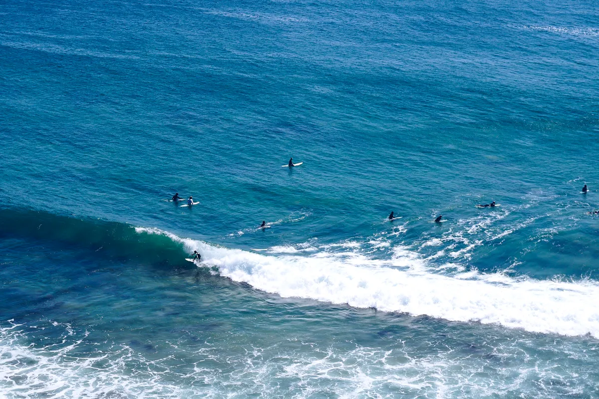
Steamer Lane is a set of point breaks off the cliffs of West Cliff Drive, near the wharf and the lighthouse. It breaks over rock and mudstone bottom, and it has four main sections: The Slot, Middle Peak, The Point and Indicators, with Third Reef offshore as an expert zone. On a decent day the take-offs are steep and the rides can be long, but the paddle out through a rocky channel is tricky, and the cliffs make a gallery for onlookers.
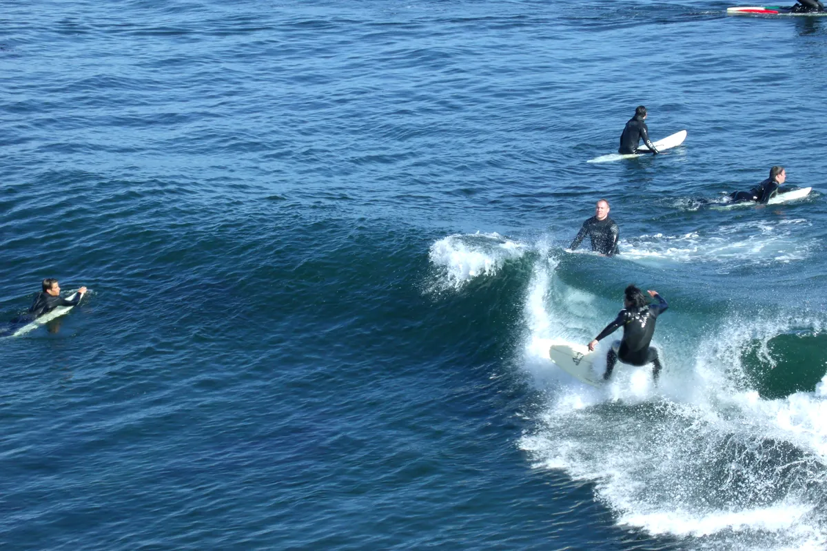
The Lane is crowded most days, and the pecking order is firm. Intermediates can find a small day and sit wide, but beginners should look elsewhere. Park on West Cliff Drive early, since spaces fill, and watch the sets for ten or fifteen minutes before paddling out.
Pleasure Point and the east side
East of the harbour, Pleasure Point is a well-known stretch of coast running from around 41st Avenue to Moran Lagoon. It includes The Hook, Privates, 38th Avenue and several other peaks over reef and rock, with a lively beachside community along East Cliff Drive. The waves are often a little more forgiving than the Lane, which makes them popular with longboarders and intermediate shortboarders.
Expect a crowd on sunny weekends. Several peaks have different tidal windows, so the best option changes through the day. The east side tends to be sheltered from some northerly winds, which can make it a good fallback when the west-side points are choppy.
Cowell's and the gentle end of town
Cowell's Beach, next to the wharf and the main beach, is the town's classic longboard wave and where many people take their first lessons. Waves break over sand and reef in a protected part of the bay, which keeps them smaller and softer than at Steamer Lane. Rides are slow and a longboard is the right choice.
Because Cowell's is so popular, it is crowded with learners and instructors in summer. Be patient, keep your board under control and avoid paddling through swimmers. Mitchell's Cove, just to the west, offers another option when the swell is small and the wind is right. Combine a session with a walk on the wharf, where sea lions often bark below the boards.
Cold water and sharks
Water temperatures along this coast stay cold all year, with typical winter readings of around 9 to 11°C and late-summer readings around 14 to 17°C. A 4/3 full wetsuit is the year-round standard for most surfers, and a 5/4 with boots and a hood suits winter and spring, when upwelling pushes the temperature down. Fog is common in summer.
The Monterey Bay region is also white shark habitat, particularly the sections north of town towards Año Nuevo. Incidents are rare, but surfers should avoid dawn and dusk, stay out when seals and baitfish are active and heed local warnings. Strong currents and kelp can also be a problem around the points, so a leash and decent fitness are recommended.
Getting to Santa Cruz
Santa Cruz is about 75 miles south of San Francisco and roughly 30 miles from San José. Highway 17 crosses the Santa Cruz Mountains from San José, and the drive takes about 45 minutes to an hour in light traffic; on Friday afternoons and Sunday evenings it can be much slower. From San Francisco, Highway 1 along the coast is more scenic but also slower.
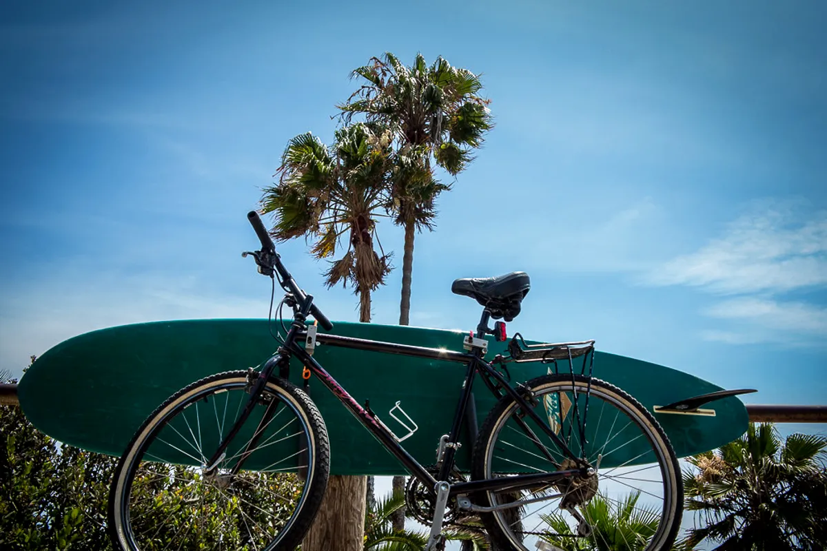
A car is useful because the surf breaks are spread along the coast and public transport is limited, though local buses run between the beaches and the downtown. Parking at the Lane and Pleasure Point is tight at weekends. Cycling is a good way to move along the coast on the flat sections of West Cliff Drive.
Seasons, swell and the wind
Winter brings large north-west swells that bring the biggest waves, and some breaks shut down because they get too big or the tide is wrong. In summer, small south swells and local wind swells fill in the gaps, and the busiest period for visitors is June to August. Spring often has strong afternoon northwesterly winds, and the best sessions are in the early morning.
Autumn gives many people their favourite surf: lighter winds, warmer water by local standards, long-period swells and thinner crowds after the school holidays. Check a local forecast for the tide, because several of the Santa Cruz points are tide-sensitive and a session that is perfect at high tide can be unridable at low.
Santa Cruz surf season month by month
A broad planning picture, not a forecast. Swell, wind and water temperature vary from year to year.
| January | Large north-west swells and the coldest water of the year, around 9 to 11°C. A 5/4 with boots is typical; the Lane can be huge and dangerous. |
|---|---|
| February | Consistent winter surf with cold, clear days between storms. Quiet line-ups on weekdays for those prepared for the cold. |
| March | Swell remains frequent, and days lengthen. Spring winds begin to blow in the afternoons, so go early. |
| April | A transitional month with variable swell and a lot of wind. Water is still cold and coldest sea temperatures can occur now. |
| May | Strong northwesterly winds are common, and fog can set in. Early mornings are often best. |
| June | Start of the summer tourist season. Swell is often small, and fog is common. Good for beginners at Cowell's. |
| July | Busy beaches, fog and small surf. South swells can add occasional days of cleaner, smaller waves at the points. |
| August | South swells can show up, and the water is as warm as it gets. Crowded at the main spots, with long waits at Cowell's. |
| September | One of the best months: clean mornings, lighter winds and a mix of south and north-west swells. Crowds ease after Labor Day. |
| October | Autumn swells start to arrive. Often warm and sunny by local standards and an excellent time for a visit. |
| November | The first winter swells and cooling water. Line-ups are less crowded, but the surf can jump in size quickly. |
| December | Big winter swell and short days. The Lane and the outer points can be dangerous; check the forecast and the tide. |
Learning to surf in Santa Cruz
Santa Cruz has a long list of schools and camps, and most lessons run at Cowell's Beach, where the waves are small and soft and the longboard heritage is strong. Lessons usually last around two hours, with a wetsuit and a foam longboard included. In summer, group lessons are booked out early, so reserve ahead.
Because the water is cold, the wetsuit is not optional, and the first session is as much about getting used to the cold as about standing up. Ask how many students share an instructor and whether the school uses the whole of Cowell's or a marked area. The beach is busy, and an organised class helps you avoid colliding with swimmers.
If you want to move on from beginner waves, local coaches can help you read tides and choose the right peak at Pleasure Point. Steamer Lane is not a place to learn.
Comparing options across the country? Read our guide to surfing in the USA.
Seasonal notes on this page describe typical patterns, not the conditions on a given day. Use the local forecast, lifeguard advice and a qualified instructor for water-safety decisions, and get a written breakdown of what any surf package includes before paying.
Santa Cruz surf trip questions
When is the best time to surf in Santa Cruz?
September to November often offers the best mix of clean surf, lighter wind and thinner crowds. Winter has the biggest swells and coldest water, while summer has small waves and fog.
What wetsuit do I need in Santa Cruz?
A 4/3 full wetsuit works for most of the year. In winter and spring, a 5/4 with boots and a hood is more comfortable, since water temperatures fall to around 9 to 11°C.
Is Steamer Lane good for beginners?
No. It is a crowded, rocky point break with a strict pecking order. Beginners should take lessons at Cowell's Beach and progress to Pleasure Point once they can handle bigger waves.
Are there sharks in Santa Cruz?
The Monterey Bay area is habitat for white sharks, especially north of town. Incidents are rare, but surfers should avoid dawn and dusk, stay clear of seals and baitfish and follow any posted warnings.
How far is Santa Cruz from San José airport?
About 30 miles by road via Highway 17 over the mountains. It takes about 45 minutes to an hour in light traffic, and longer at busy weekend times.
Sources & editorial notes
Destination context checked against the sources below. Base-selection and itinerary suggestions are Book & Surf editorial recommendations. Seasonal windows are broad planning suggestions, not measured forecasts or guarantees.
We do not claim to have personally surfed every break. Read our editorial standards.